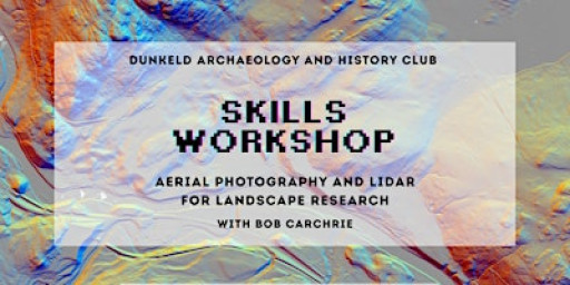
Join our archaeology and history club skill session to learn how to utilise LiDAR images and Aerial photography to explore your landscape and improve your research capabilities!
Robert Carchrie is a trained archaeologist who will help explain what LiDAR is and how you can use it to explore your landscape and expand your research capibilities, find out how to use it alongside aerial images for optimum effect.


